Kansas Geological Survey
Advancing Science, Serving Kansas
Research Programs

Water Resources and Geohydrology
Studying aquifers, rivers, and streams to provide a scientific foundation for water management.

Aquifer Water Quality Assessment for Kansas (AWQUA)
Assessing groundwater quality in aquifers across the state.

Energy
Exploring oil and gas resources, carbon and hydrogen storage, and other energy initiatives.
Research Programs

Geophysics and Hazards
Monitoring earthquakes, developing seismic techniques, and supporting field-based research.

Geology and Mineral Resources
Studying and mapping the geologic resources of the state.

Geoarchaeology
Searching for evidence of the earliest people to inhabit the Central Great Plains.
Quick Links
Outreach, Education, and Publications

Educational Resources
Learn about the geology of Kansas featuring geologic sites, classroom activities, and more

Publications
Books and maps on the geology, minerals, and natural resources of the state.

Archives and Libraries
Kansas Geologic Sample Repository, Data Resources Library, and KGS Drill Core Library.
KGS in the News

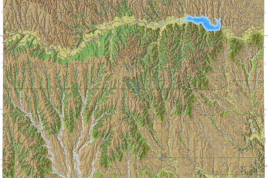
Geologic map for Jewell County now available
The Kansas Geological Survey has released a new full-color geologic map of Jewell County, where an ancient inland sea left rocks rich in fossils, time and erosion created a striking landscape, and excavations reveal evidence of prehistoric people.

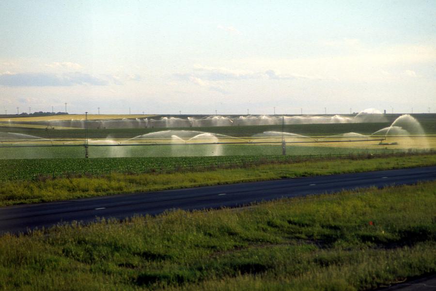
Water history exhibit grand opening at El Quartelejo Museum in Scott City
Using a variety of multimedia components, a collaborative exhibit that included the Kansas Geological Survey combines the scientific study of water and local history to show the story of water use in western Kansas.

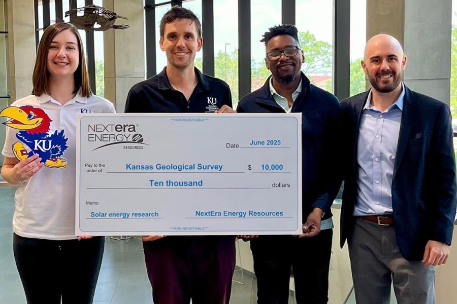
Kansas Geological Survey receives donation from NextEra Energy Resources for continued research
A $10,000 donation to the Kansas Geological Survey is earmarked for the development of an experimental solar array in southwest Kansas.

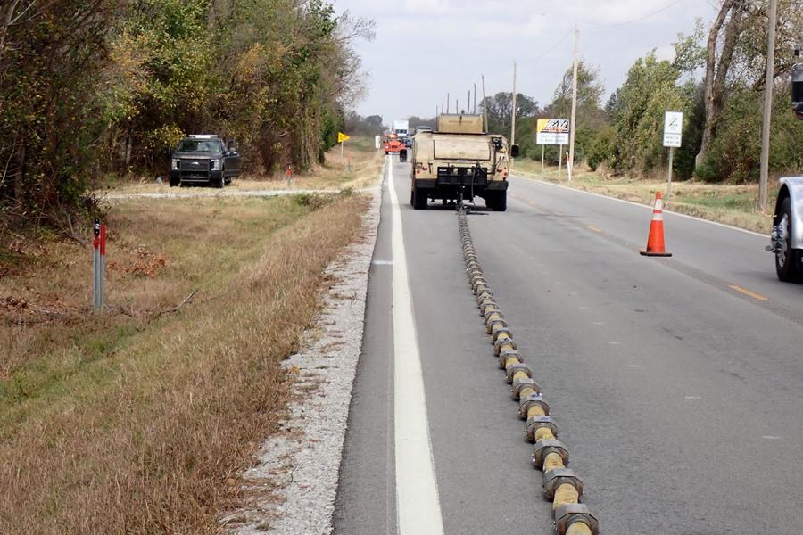
From abandoned coal mines to war zones, Kansas Geological Survey technology reveals underground threats
A hazard detection program begun nearly 40 will enter a new era of artificial intelligence, neural networks, and machine learning, supported in part by a $15 million grant from the U.S. Army Engineer Research and Development Center.
Coming Events
October 21–22: Geology & Well Technology Seminar and Tech Fair
Nikki Potter and Diana Ortega-Ariza will offer a Geology in Kansas short course on Tuesday, October 21, during this year's seminar, presented by the Kansas Department of Health and Environment.
November 2: Beers of the Kaw
KGS will have a booth and activities during the 10th annual Beers of the Kaw, supporting Friends of the Kaw and their work for the Kansas River.