
Kansas Earthquakes
Kansas Earthquakes Quick Links
- Interactive Earthquake Map
Explore activity from when monitoring began in 1977 to the present - Real-Time waveforms
View waveforms from stations in the Kansas earthquake network - Kansas Earthquake Catalog
Request data from the Kansas earthquake catalog - Consortium to Study Trends in Seismicity
Learn more about this public–private project to study earthquake trends in Kansas
Exploring the Kansas Earthquake Surge
Kansas generally was considered low risk for felt earthquakes before 2013. But the U.S. Geological Survey reported 17 earthquakes of magnitude 2 or greater in 2013, predominantly in south-central Kansas.
The number jumped to more than 100 in 2014, including a magnitude 4.9 event on November 12 in Sumner County. The Sumner County quake was the most powerful earthquake in Kansas history to be recorded with modern instruments.
In response to this increase, the Kansas Legislature provided primary funding for the Kansas Geological Survey to install and operate a state seismic network to:
- provide enhanced sensitivity for recording lower-magnitude earthquakes across the state;
- pinpoint earthquake depths and epicenters;
- define zones of increased risk;
- guide installation of a permanent KGS statewide network;
- help guide future scientific and regulatory responses to the seismic activity; and
- gather background geologic data in areas with potential earthquake activity.
With additional equipment funded by the Kansas Corporation Commission and stations funded by the Consortium to Study Trends in Seismicity, KGS now operates more than 30 stations across the state. The KGS Seismic Network has produced significant new insights into earthquake activity within the state in Kansas. Data show the number of quakes dropping since the peak in 2015.
Kansas Network Earthquakes

Use our interactive map to find earthquakes located within the Kansas earthquake network.
Real-Time Wave Forms in Action
The image below displays seismic waveforms from an earthquake station at the Pottawatomie State Fishing Lake #2 near Manhattan, Kansas. Each line shows data for 30 minutes, and the images refresh every three minutes.
Vertical Movement (EHz)

Kansas Earthquake Database
Use the form below to request data from the Kansas Earthquake catalog.
Typically, you will receive an email with a link to download the data file within 24-48 hours. The file will be a CSV text file which can be imported into Excel and other programs.
Historic Seismicity in Kansas
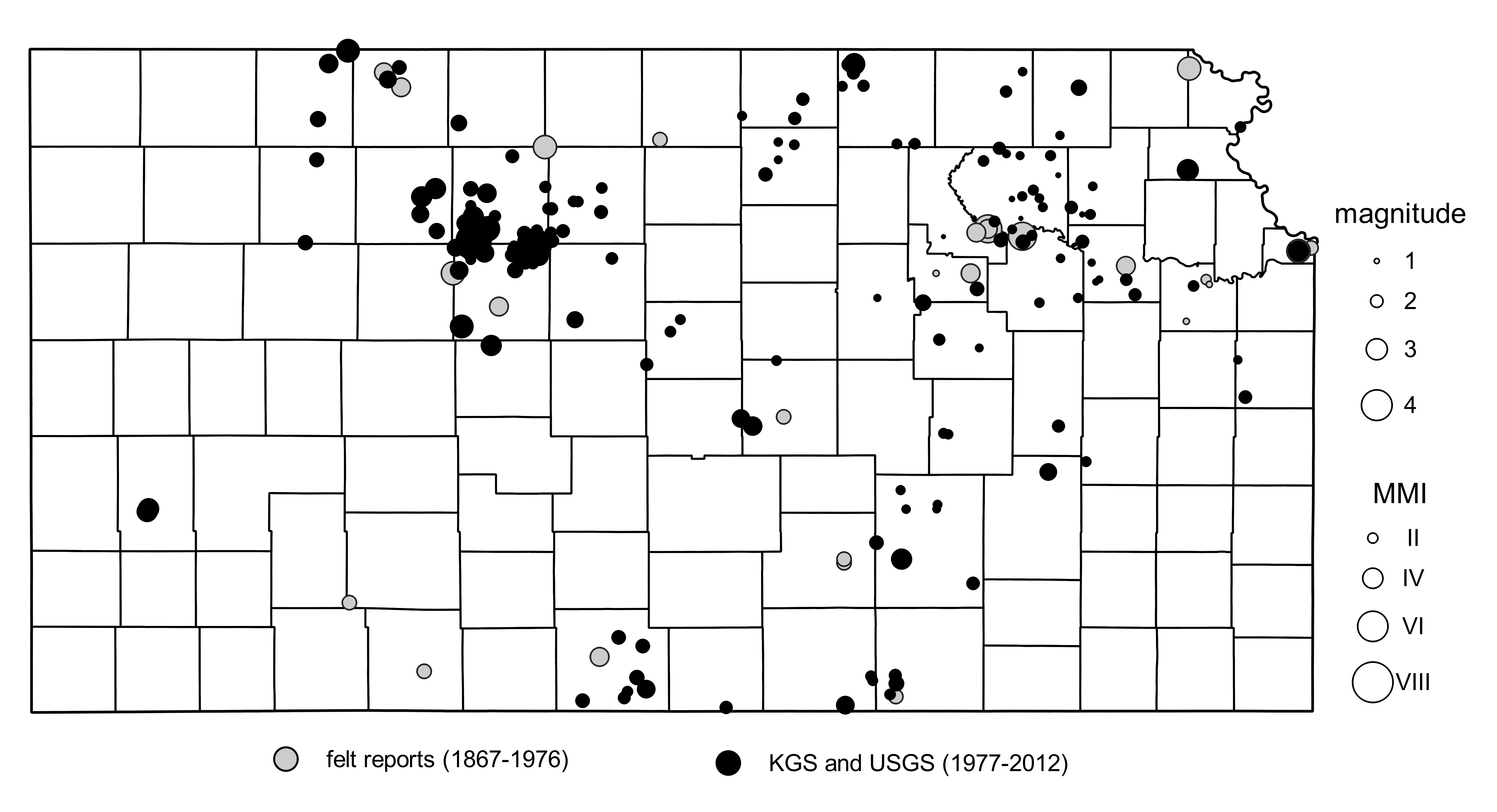
Historic Recorded Reports (PDF, 226KB)
Historic Felt Reports (PDF, 128 KB)

Site Preparations
KGS Field Research Technician Brett Wedel excavates a site before an earthquake station is installed.

Station Design
A diagram shows the components of an earthquake station.

A Network of Stations
This earthquake station in Sedgwick County is one of the more than 30 across Kansas.

Going Underground
At each station, a seismometer like this is buried underground to measure seismic activity.