
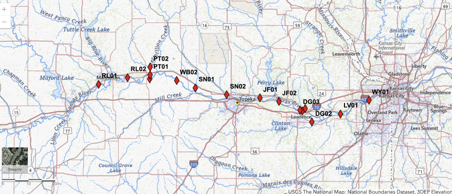
Kansas River Index Well Network
Between the summers of 2017 and 2022, the KGS established a network of 16 observations wells in the Kansas River alluvial aquifer. The wells operate under the Kansas Index Well Program to provide continuously recorded (hourly) water levels of the aquifer throughout the year. Funding for the project was primarily provided by the Kansas Water Plan Fund; additional funding was provided through a grant from the USGS National Groundwater Monitoring Network.
Interactive Map
Use our interactive map to explore the data received, or use the data links below.
Data (Well Identifier, Location)
Kansas River Alluvial Aquifer Index Well Program Reports
Kansas River Alluvial Aquifer Index Well Program: June 2020 to May 2022 Report
KGS Open-File Report 2022-6
Authors: J. J. Butler, Jr., E. C. Reboulet, S. Knobbe, G. C. Bohling, D. O. Whittemore, J. Voss, and B. B. Wilson
Kansas River Alluvial Aquifer Index Well Program: 2019 Annual Report
KGS Open-File Report 2020-14 (pdf)
Authors: J. J. Butler, Jr., E. C. Reboulet, S. Knobbe, D. O. Whittemore, B. B. Wilson, and G. C. Bohling
Maintenance of the Kansas Geological Survey's Data Services to the National Groundwater Monitoring Network and Establishment of a Trend Well Network in the Kansas River Alluvial Aquifer
KGS Open-File Report 2019-17
Author: Brownie Wilson
Kansas River Alluvial Aquifer: Water Use and Real-Time Monitoring
Guide for Field Trip, March 27, 2019, Geological Society of America, 2019 Joint Section Meeting, Manhattan, Kansas
KGS Open-File Report 2019-18
Authors:Donald O. Whittemore, Brownie Wilson, and James J. Butler, Jr.